Master’s in Geomatics
Admissions 2025
Geomatics refers to the science and technology to study geospatial information. The geospatial information is considered to be a nation’s digital asset and a critical component of national infrastructure and knowledge economy. The earlier trend of geospatial technology, which was just mapping, nowadays pushing industrial processes, transparency, productivity, safety, and project management. Geomatics as a subject is multidisciplinary in nature that attracts people from diverse academic backgrounds and integrates acquisition, management, analysis, modeling, and visualization of geospatial information.
Master’s in Geomatics is a professional course that includes subjects like Remote Sensing, Geographic Information System (GIS), Database Management Systems, Geospatial Analysis, Programming languages, Photogrammetry, Global Navigation Satellite System (GNSS), LIDAR, Web and Mobile GIS, Big Data Analytics, Artificial Intelligence and Machine Learning (AI & ML) and Open-source geospatial technologies. It gives a unique opportunity to explore the wide range of applications in the fields of engineering, construction, infrastructure, utilities, planning, management, information technology and many allied fields.
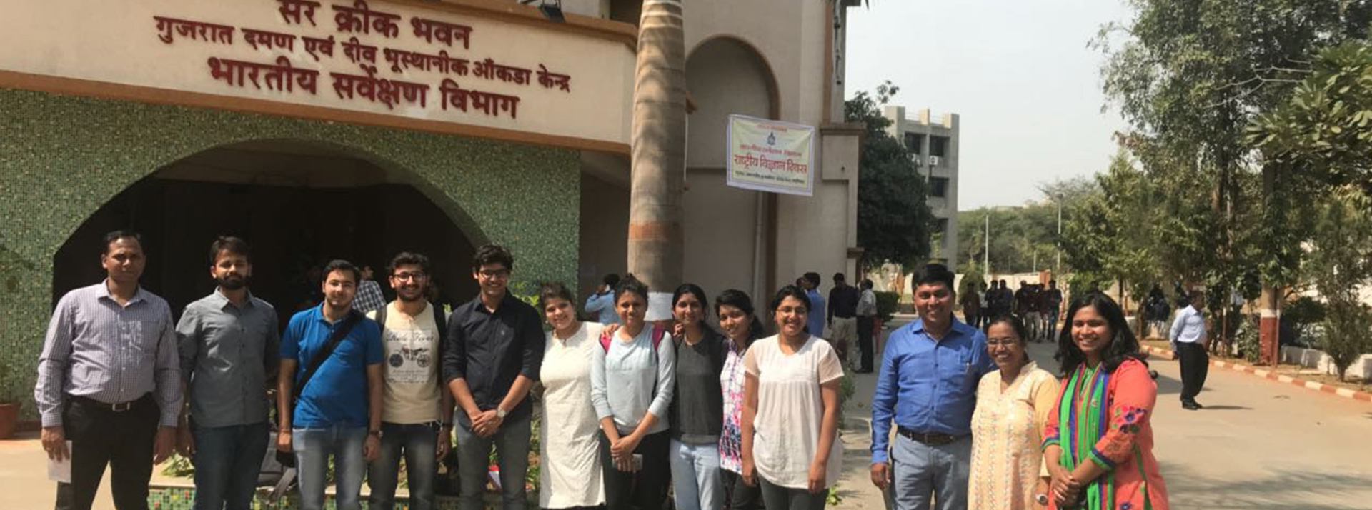
The program emphasizes theoretical and practical sessions, studio-based learning, and a dissertation towards the fulfilment of the degree. The faculty members are drawn from reputed scientific, academic, and industrial institutions, equipped with relevant experience in the field of geospatial technology. In addition, the knowledge exchange programs, workshops, seminars, expert lectures, academic events such as GIS and Remote Sensing Day celebrations are the uniqueness and strength of the program at CEPT.
With the increasing awareness and need of geospatial technology, the CEPT graduates build their career in government organizations, corporate houses, NGOs, academic and research institutes. The students have been successfully placed nationally and internationally, while many have also been successful in setting up several consultancy firms/start- up for providing geospatial solutions in their various capacities.
To know more about the program: click here